
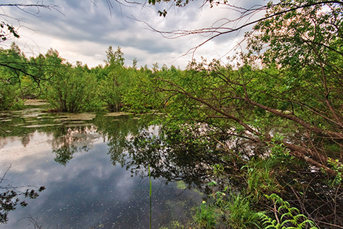
Environmental
The increasing fragility of many ecosystems makes accurate, up-to-date surveying information crucial for planning and development purposes, as well as conservation efforts. From wetlands and flood plains to land use certification, Regional Land Surveyors, Inc. uses the latest technology to provide the following services:
- Jurisdictional boundary mapping
- Monitoring well locations and contamination areas
- Stream restoration
- Tree identification
- FEMA Surveys